Things to do · June 24, 2026
The Samoeng Loop: Chiang Mai's classic scooter day trip
By The Ada House team
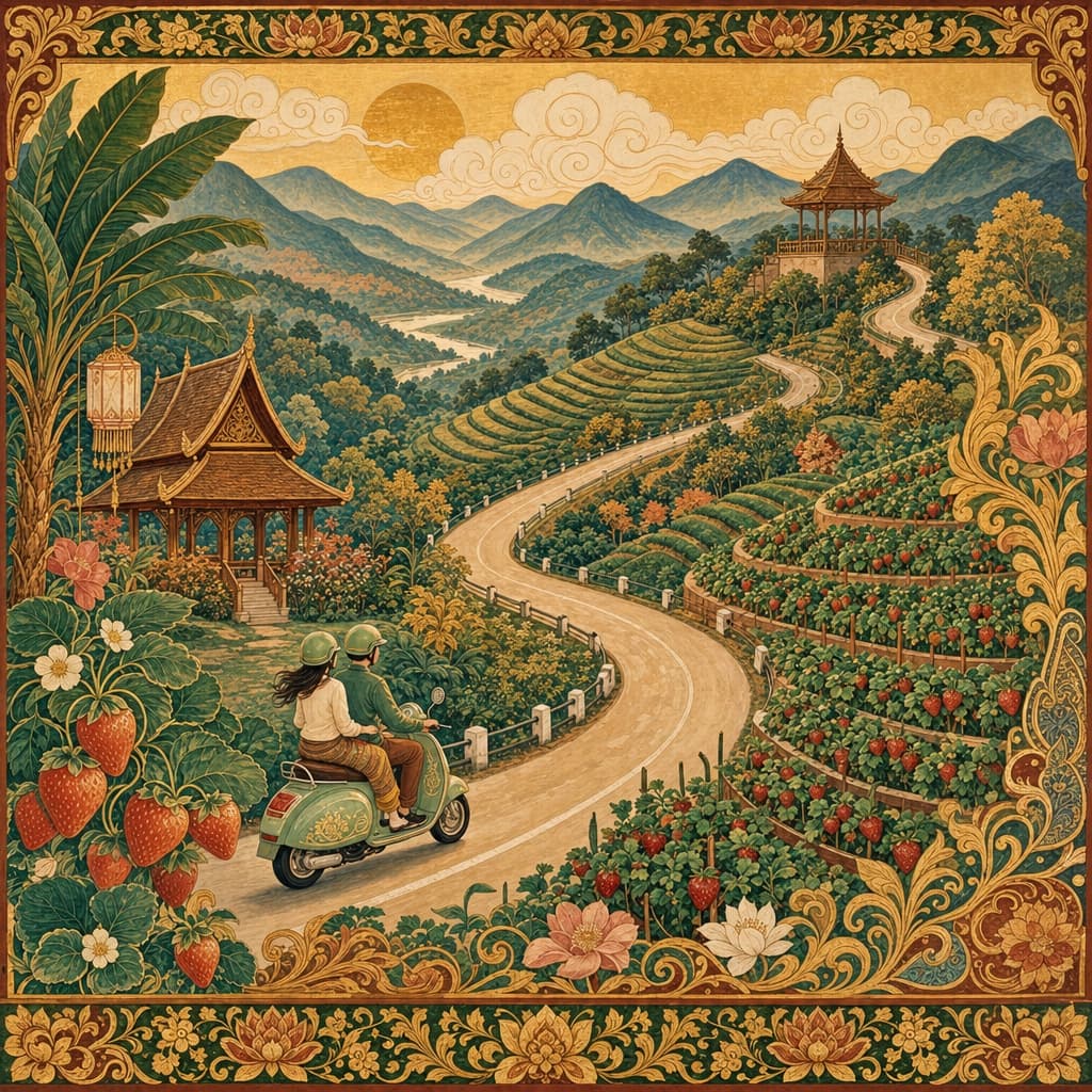
Ask anyone who's spent a season here for the one ride to do, and they'll say the same thing: the Samoeng Loop. It's roughly 100 kilometres of mountain road northwest of the city — switchbacks, valley views, strawberry farms and more coffee stops than you can sensibly drink — and it loops you neatly back home by evening. Do it once and you'll understand why it's a little rite of passage.
What the loop is, and which way to ride it
The loop climbs out of the city through Mae Rim and the Mae Sa valley, winds up into cool forested highlands past Samoeng, and drops back down a famously twisty southern road. Most riders go anticlockwise, heading north up Route 107 first. The reason is simple: you tackle the gentle Mae Sa kilometres while you're fresh, and you save the steep, technical descent on Route 1269 — a stretch known for its tight hairpins, with gradients touching 17% — for the end, once you've found your rhythm with the brakes and the bends.
Give it a full day if you can. The road alone takes four to five hours of relaxed riding, but the whole point is to stop, so set off around 8.30am and don't rush.
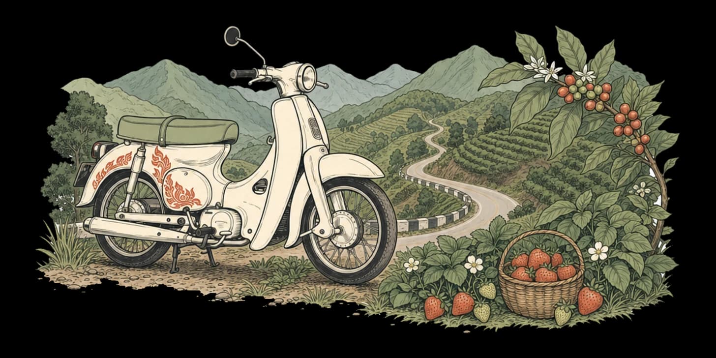
The stops along the way
Heading up the Mae Sa valley, you'll pass them in a rough string:
- Mae Sa Waterfall — ten tiers linked by a shaded loop trail inside Doi Suthep–Pui National Park, about 30 km from the city. A cool, leafy first stretch of legs (gates close around 4.30pm).
- Queen Sirikit Botanic Garden — a vast hillside garden with a canopy walkway and themed glasshouses, an easy 40 minutes from town and well worth an hour.
- Mon Jam and the Nong Hoi viewpoint — the postcard moment: terraced flower and vegetable fields tumbling down the ridge, part of a long-running royal project. This is also glamping and strawberry country — from November you can buy them fresh by the punnet around Pong Yang.
- Mountain coffee — the highlands are dotted with hillside cafés. Pause at one near the Samoeng forest viewpoint (over 1,100 m) for a cup with a view that earns it. If the beans get you curious, our Chiang Mai coffee farm day trip takes you right up into the hills where they're grown.
Note that the loop skirts Samoeng town rather than running through it — the village proper sits a little off the circuit if you want lunch and a quieter pause.
Road conditions and riding sensibly
The surface is mostly good paved road, but this is genuine mountain riding: constant curves, the odd pothole or gravel patch, and that steep 1269 descent that rewards a cautious throttle. A few non-negotiables. Wear the helmet, properly fastened — every time. Fuel up before you leave, because petrol is scarce past Pong Yang. And ride within your level: if you're new to two wheels, the hairpins are not the place to learn, so read our scooter rental guide first and take a car or join a tour if you'd rather. Fit riders also take this on as a bucket-list pedal — see our take on cycling around Chiang Mai — but it's a serious climb.
If a hire scooter isn't your thing, our getting-around guide covers your other options for reaching the valley.
When to go, and what to pack
The cool season (roughly November to February) is the sweet spot: crisp air, clear ridgelines, ripe strawberries, and dry, grippy tarmac. In the rainy season (June to October) the valley turns gloriously green, but the road gets slick and fog can sit on the high sections and refuse to lift — fine if you know the route, riskier if you don't. (Our when-to-visit guide has the fuller seasonal picture.)
Pack a light layer — it's noticeably cooler up top, much like a run up to Mae Kampong — plus sunscreen, water, a little cash for strawberries and coffee, and a phone holder so you're not fishing for the map mid-bend.
It's the kind of day you'll still be talking about when you're back at the house, comparing photos over a late dinner. Take it slow, ride safe, and let the mountains do the rest.
— The Ada House team
Frequently asked questions
How long is the Samoeng Loop and how long does it take?
It is roughly 100 kilometres of mountain road northwest of the city, looping you neatly back home by evening. The road alone takes four to five hours of relaxed riding, but the whole point is to stop, so give it a full day, set off around 8.30am and do not rush.
Which way round should I ride it?
Most riders go anticlockwise, heading north up Route 107 first. The reason is simple: you tackle the gentle Mae Sa kilometres while you are fresh, and save the steep, technical descent on Route 1269, known for its tight hairpins with gradients touching 17%, for the end once you have found your rhythm.
What are the best stops along the loop?
Heading up the Mae Sa valley you will pass Mae Sa Waterfall, ten tiers inside Doi Suthep-Pui National Park about 30 km from the city; the Queen Sirikit Botanic Garden with its canopy walkway; and Mon Jam with the Nong Hoi viewpoint, the postcard moment of terraced fields. There are also plenty of hillside coffee stops, including one near the Samoeng forest viewpoint at over 1,100 m.
Where can I buy strawberries on the loop?
The Mon Jam area is strawberry country, part of a long-running royal project. From November you can buy them fresh by the punnet around Pong Yang, so bring a little cash for strawberries and coffee.
Is the loop safe for a beginner rider?
This is genuine mountain riding, with constant curves, the odd pothole or gravel patch, and that steep 1269 descent. If you are new to two wheels, the hairpins are not the place to learn, so read our scooter rental guide first and take a car or join a tour if you would rather. Always wear the helmet properly fastened, and fuel up before you leave, since petrol is scarce past Pong Yang.
When is the best time to ride and what should I pack?
The cool season, roughly November to February, is the sweet spot, with crisp air, ripe strawberries and dry, grippy tarmac. In the rainy season from June to October the road gets slick and fog can sit on the high sections. Pack a light layer since it is noticeably cooler up top, plus sunscreen, water, a little cash and a phone holder.